Toggling Terrain Visibility切换地形能见度
Hiding terrain can improve SketchUp’s performance. Terrain can gobble up a noticeable chunk of your computer’s processing power, but SketchUp doesn’t ask your processor to render hidden geometry. 隐藏地形可以提高SketchUp的性能。地形可能会占用计算机的大量处理能力,但SketchUp不会要求处理器渲染隐藏的几何体。
Having a way to hide the terrain is also handy when terrain obscures the bottom parts of a model. Hide the terrain, and it’s out of your way.当地形遮挡了模型的底部时,有一种隐藏地形的方法也很方便。隐藏地形,它就在你的路之外。
You can toggle terrain between visible and hidden with SketchUp’s layers feature — after all, controlling visibility is the whole purpose of layers. 您可以使用SketchUp的图层功能在可见和隐藏之间切换地形——毕竟,控制可见性是图层的全部目的。After you create or import your terrain, make sure that all your terrain geometry is organized into a single group. 创建或导入地形后,请确保将所有地形几何体组织到一个组中。Then assign that group to a layer to control the terrain’s visibility. To learn details about groups, see Organizing a Model and its subarticles. 然后将该组指定给图层以控制地形的可见性。要了解有关组的详细信息,请参阅组织模型及其子文章。To understand the tricks to working with layers, see Controlling Visibility with Layers.要了解使用图层的技巧,请参阅使用图层控制可见性。
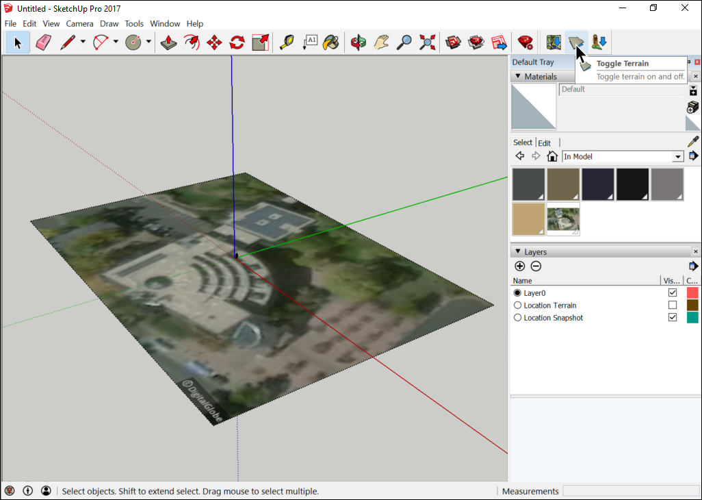
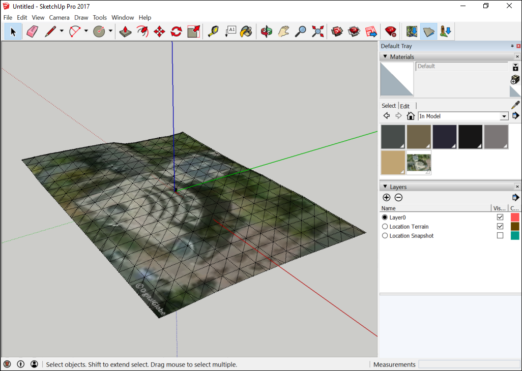
If you import terrain from Trimble using the Add Location feature, SketchUp places the terrain on layers for you. In fact, SketchUp creates two layers: 如果使用“添加位置”功能从Trimble导入地形,SketchUp会将地形放置在图层上。事实上,SketchUp创建了两个层:
Location Terrain layer:位置地形层:This is the terrain, imported from your selected area.这是从所选区域导入的地形。Location Snapshot:位置快照:This 2D image shows an aerial photo of the area you imported into SketchUp.此2D图像显示了您导入SketchUp的区域的航拍照片。
 ) on SketchUp’s Location toolbar. ),可以在这两个层之间切换。